Is Verona Walkable?
Is Verona walkable? Yes: the UNESCO-listed old town sits inside a loop of the Adige and the main sights cluster within a few minutes of Piazza Bra. Here is what the sources say about exploring on foot.
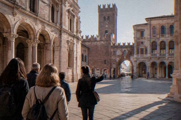
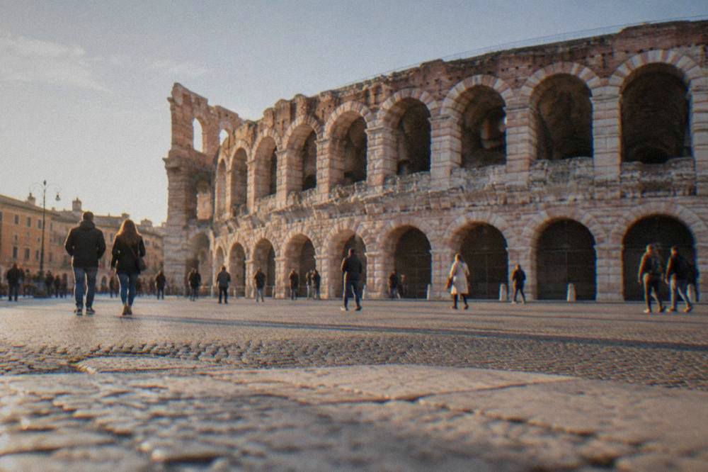
Verona, in Veneto, northern Italy, is an inland city on the Adige river, and its historic centre sits inside a tight loop of that river, hemmed in on three sides by water and stacked with two thousand years of building. That geography does the walking visitor a favour. The city's main landmarks, from the first-century Arena in Piazza Bra to Piazza delle Erbe, Ponte Pietra and the Casa di Giulietta, all sit inside that loop, and every city-tier landmark lies within 5 km of the centre. Nothing that matters is far apart, and the streets between them are the point of the visit.
This page, put together by the Verona Italy Travel Guide editorial desk from primary sources, sets out what the record shows: how compact the centre really is, where the hills and bridges add effort, when the buses earn their 1.50 euro single, and how a walking city this size changes the way you plan the days. Where a figure is reported rather than official, it says so, and where nothing reliable exists, it says that too and moves on.
Is Verona Walkable?
Yes, Verona is walkable to a degree that surprises first-time visitors: the UNESCO World Heritage old town (inscribed in 2000) fits inside one loop of the Adige river, every major landmark lies within 5 km of the centre, and the main squares, the Arena, Juliet's House and Ponte Pietra are connected by narrow pedestrian-scale streets. Cars are restricted in the historic core, and the plain answer is that walking is the standard way to see Verona.
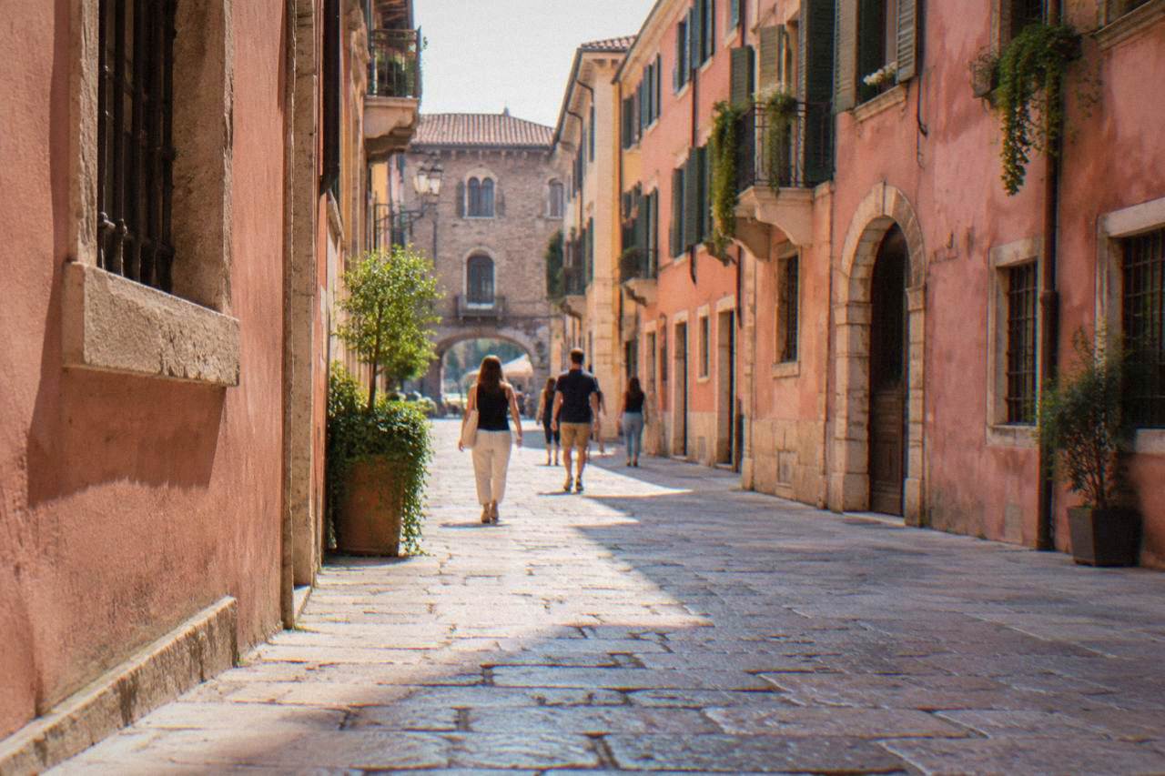
The reason is structural. The Adige curls around the old town in a horseshoe, and centuries of building filled that horseshoe densely: cobbled lanes, marble pavements around Piazza delle Erbe, and the straight Roman spine that runs from Porta Borsari toward the Arena. Piazza Bra, Piazza delle Erbe, Piazza dei Signori, Ponte Pietra and Porta Borsari are all open public space with no ticket, so a full circuit of the headline sights costs nothing but shoe leather.
Two things add honest effort. The first is the river itself: crossing the Adige means bridges, and the walk up to Castel San Pietro on the far bank is a steep climb, rewarded with the classic view over the rooftops. The second is the summer climate: the ERA5 reanalysis for Verona, 1991-2020, puts the July mean daily high at 29.3 C with overnight lows near 19 C, so long walking days in July and August carry real heat. The same normals show January highs averaging just 7.3 C, which makes winter walking brisk but comfortable for anyone dressed for it.
Verona's scale also answers the common follow-up question of how many days in Verona is enough: because the centre is this compact, the city rewards short visits in a way that sprawlers like Milan do not.
How Compact Is The Historic Centre Of Verona?
The historic centre of Verona is compact enough that the whole sightseeing core fits inside a single river loop roughly 2 km across, with every city-tier landmark, the Arena, Casa di Giulietta, Piazza delle Erbe, Ponte Pietra, Castelvecchio and the Duomo complex, within 5 km of the centre point. In practice the headline sights cluster within a few blocks of one another.
That 5 km ceiling comes from the computed distance set for this site, drawn from OpenStreetMap routing, and it is a ceiling rather than a typical walk: the distance between the Arena and Piazza delle Erbe, or between Juliet's courtyard and Ponte Pietra, is a fraction of it. The job card's notes make the same point plainly: the old town sits inside a loop of the Adige and the main sights are within a short walk of Piazza Bra. No measured walking minutes for named pairs exist in the sources, but the geometry does the arguing.
| Landmark | Area of the old town | Admission | Notes |
|---|---|---|---|
| Arena di Verona | Piazza Bra, south edge of the loop | 12 euro full, 9 reduced, 3 for ages 18-25 | Daytime visit; closed Mondays per the reported schedule, check the Arena's own ticket page |
| Casa di Giulietta | Via Mamma, near Piazza delle Erbe | 5 euro courtyard route, 12 euro with house and balcony, since 1 April 2026 | Online booking, entry via Teatro Nuovo |
| Piazza delle Erbe and Piazza dei Signori | Centre of the loop | Free, open public space | Market square and adjoining piazza |
| Ponte Pietra | North-east edge of the loop | Free, open pedestrian bridge | Roman-era crossing of the Adige |
| Porta Borsari | South-west edge, on the Roman decumanus | Free, open public space | Roman gate, no ticket |
| Castelvecchio | West edge of the loop | Reported at 9 euro full, closed Mondays | Confirm on the museum's own page before a visit |
The table makes the walking case better than adjectives: six of the city's signature stops, four of them free, sit on the same small map. A visitor who books a guided introduction, such as the Verona highlights walking tour in a small group, covers this core on foot with a local guide, which is itself evidence of how the city is normally seen. There is also Check availability for that walk if you want the route handled for you.
Do You Need Buses Or A Car Inside Verona?
Inside the historic centre of Verona you need neither buses nor a car: the sights are walkable, the centre is a camera-policed ZTL where non-residents are limited to four entries a month by booking, and the urban ATV bus single costs 1.50 euro for 90 minutes when you do want one, for example reaching Porta Nuova station or a hotel outside the loop. The car, in short, is the wrong tool for the old town.
The ZTL detail matters and appears on the Comune di Verona's own notice: the restricted-access windows run Monday to Friday 10:00 to 18:00 and 20:00 to 23:00, and Saturdays, Sundays and holidays from 10:00 to 13:30, with a maximum of four entries a month for non-residents who book in advance. Hotel guests inside the zone are exempted if the hotel registers their number plate. Anyone weighing a car against the walkable core can read those rules and conclude the same thing: park outside and walk in, or arrive by train.
Buses have a real role at the edges. The 1.50 euro urban single, valid 90 minutes, is the fare listed on ATV's own ticketing page, and it covers the trips walking does not: out to the station district, across to Borgo Trento, or up the hills west of the centre. Beyond the city, the reported line 164 runs from Verona toward Sirmione in about 55 minutes direct, hourly, also serving Peschiera, Lazise, Bardolino and Garda, though its fare was not confirmed, so check ATV's own site before riding. ATV's day-pass prices are reported only loosely and should be checked on ATV's own site.
One thing buses and feet both handle badly is the lake, because the lake is not in Verona. The city is inland on the Adige; Sirmione, Bardolino, Garda town and Malcesine are 22 to 39 km west and are day trips, as the companion piece on how far Verona is from Lake Garda sets out.
Where Does Walking In Verona Get Harder?
Walking in Verona gets harder in three specific places: the climb to Castel San Pietro on the far bank of the Adige, the bridge crossings of the river themselves, and the summer heat, with the ERA5 reanalysis for 1991-2020 showing July mean highs of 29.3 C and August 29.1 C. None of these make the city unwalkable, but each changes how a day on foot should be planned.
Castel San Pietro sits high above the river on the Veronetta side, and the ascent is a sustained slope with steps; the reward is the panorama over the roofscape and the Arena's outer ring. The exact price and hours of the viewpoint terrace are not confirmed here, so confirm locally before planning around it. Down at water level, the Adige's bridges, Ponte Pietra, Ponte Nuovo, the Castelvecchio bridge, link the loop to Veronetta and Borgo Trento, and they add honest distance whenever an itinerary hops banks.
The third difficulty is seasonal rather than topographic. The climate normals tell the story in numbers: July and August mean highs of 29.3 and 29.1 C, with rain peaking in November at 118.2 mm and again in May at 109.7 mm. Practical reading: walk early in summer, carry water, and treat the autumn and spring months as the sweet spot for covering the city on foot. Visitors comparing a summer city break with a coastal one may also want the honest comparison in is Verona worth visiting.
For evening walking, the reported pattern from general advisories is ordinary urban caution around the crowded tourist spots, Piazza Bra, Piazza delle Erbe, Via Mazzini and the Casa di Giulietta, where pickpocketing is the standard risk; no Verona-specific official statistic exists. The fuller picture is in the site's page on night safety.
Is Verona Walkable For A Day Trip From Venice?
Yes, Verona is walkable as a day trip, because everything a one-day visitor comes for fits inside the river loop: the Arena, Juliet's House, Piazza delle Erbe, Ponte Pietra and Castelvecchio are all connected on foot, and trains from Venice arrive at Porta Nuova station, which sits a short distance south of the loop on foot or one 1.50 euro bus ride away. The walkable core is exactly why one day works at all.
Reported train times put Verona to Venice Mestre at 58 to 75 minutes direct, which makes the round trip realistic, and the companion guide to doing Verona and Venice in one day works through the sequencing. The walking logic is simple: from Porta Nuova, the itinerary heads north into the loop, hits Piazza Bra and the Arena first, then threads north-east through the cobbled lanes to Piazza delle Erbe, the Casa di Giulietta and Ponte Pietra, and finishes with the Castel San Pietro climb if legs allow. Every step of that line is on walkable city street.
Two paid stops need planning rather than fitness. Juliet's courtyard is ticketed since 1 April 2026, 5 euro for the courtyard route or 12 euro with the house and balcony, with online booking and entry via Teatro Nuovo, so a day-tripper should book a slot before travelling. The Arena's daytime visit costs 12 euro full, 9 reduced and 3 for visitors aged 18 to 25, and its reported schedule closes it Mondays with early closings on show days, so confirm the day's hours on the Arena's own ticket page.
For travellers who prefer their day trip pre-assembled, the Sirmione boat and spritz trip from Verona pairs the walkable city with the lake shore, though the lake, again, is a bus or train ride west, not a stroll.
A final word on footwear and season, because both are walkability questions in disguise. The streets around Piazza Bra and Via Mazzini are marble-smooth, but the lanes off Piazza delle Erbe and the hills toward Castel San Pietro are cobbled and stepped, and rain, which the normals put at 107.2 mm in October and 118.2 mm in November, makes stone polished and slick. Stout shoes and a rain layer from October onward, sun protection from June, and the walkable city stays walkable.
Common Questions About Walking In Verona
Is Verona Walkable?
Yes. The UNESCO-listed old town sits inside one loop of the Adige, every major landmark lies within 5 km of the centre, and the headline sights are linked by pedestrian-scale cobbled streets. Walking is the normal way to see the city.
Is Verona flat or hilly?
The core loop along the river is essentially flat, with bridges as the only repeated effort. The one real climb is the slope up to Castel San Pietro on the far bank, which is stepped and sustained.
Can you walk from Verona Porta Nuova station to the centre?
Yes. The station sits south of the river loop, and the walk into the historic centre is short and direct; the 1.50 euro ATV urban single, valid 90 minutes, covers the same trip for anyone who prefers it.
Do you need a car in Verona?
No, and inside the historic centre a car is a liability: the core is a camera-enforced ZTL with non-resident access capped at four entries a month by booking. Park outside the zone or arrive by train and walk.
Is Verona walkable in summer?
Yes, with planning. The ERA5 reanalysis for 1991-2020 shows July mean highs of 29.3 C, so walking early and late in the day, with a midday break, is the sensible summer pattern.